Urban Pathways
Wayfinding & Spatial Experience
Context
Independent concept project
Timeline
2026, 4 Weeks
Tools
Figma
Illustrator
Deliverables
Wayfinding concept
Interactive prototype
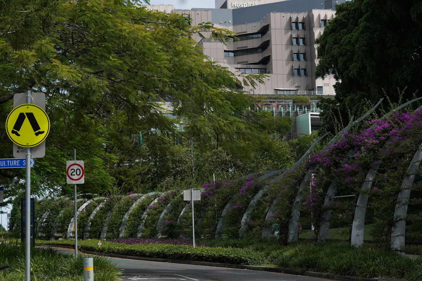
Making the everyday route easier to read.
Urban Pathways explores how a small set of visual cues can help people feel more confident while moving through unfamiliar parts of a city.
The project focuses on legibility, pace, and the moments where orientation turns into a more intuitive experience of place.
Back to selected work
Project Timeline

Challenge
When information is inconsistent, even a familiar route can feel needlessly difficult to navigate.
Process
Route mapping
Field observation
Information hierarchy
Prototype testing
Visual refinement


Site visit to Cooper Park, Gadigal Country, studying how water,
sound and landscape create the experience of place.


Site visit to Sydney CBD, Gadigal Country, walking the Tank Stream's
original path to see where it once flowed.
Mark-making experiments exploring the textures of Gadigal Country.
Prototyping & user testing.
Designed Outcome
A simple, adaptable wayfinding concept that turns routes into clearer, calmer journeys.
Designed as a portfolio case study template.